
Follow an Oviedo Street Directory Trail
Start broad enough to catch a spelling or jurisdiction issue, then narrow the evidence. The Seminole County Property Appraiser, or SCPA, is the practical first stop because Quick Search accepts a street name and a full address. One street-only search can reveal parcels on the same road, while a complete address targets one card. Preserve the search date because owner, exemption, and value fields change with each roll.
- Confirm the postal address, then run both the full address and street name in SCPA.
- Copy the parcel ID, situs address, subdivision, legal description, mailing address, exemption, and deed reference.
- Open the appraisal map and inspect parcels along the road with CurrentView tools.
- Use the owner and legal description in the Seminole Clerk index to walk through deeds.
- Check the correct city or county custodian for permits, then use voter or historical sources for their limited purpose.
This order matters. A search that begins with a surname can merge people who share a name. The parcel and legal description provide a stable land key, letting a researcher test each later result against the same site instead of assuming that any matching Oviedo record belongs in the chain.
Search Oviedo Streets in the SCPA Index
SCPA calls its main field “Property By Anything.” It supports a useful by-street method without an owner's name. A street entry may also catch facilities or subdivisions, so inspect scope and pagination before treating output as a complete road. Detailed Real Property Search and Sales Search offer structured paths when the quick result is broad.
| Search control | Input | Street use |
|---|---|---|
| Property By Anything | Owner, parcel, street, address, facility, subdivision | Full address, then street name only |
| Address, Parcel, Owner, Subdivision | Map search text | Zoom to a target parcel |
| Quick: Parcel Search (CurrentView) | Visible map extent | Collect parcels in a framed street area |
| Quick: Building Search (CurrentView) | Visible map extent | Review structures in that view |
| Quick: Sales Search (CurrentView) | Visible map extent | Compare mapped sales |
| Detailed searches | Countywide filters | Query parcels, buildings, or sales |
A parcel card may show owners, property and mailing addresses, municipality, subdivision, legal description, values, taxing districts, exemptions, land use, acreage, year built, improvement details, sales, and links. It is a rich street directory source, yet remains a property record. It does not list each person in a household.
The SCPA parcel and GIS download page provides daily parcel data, annual certified rolls, new-owner lists, and mapping files for broader street research.
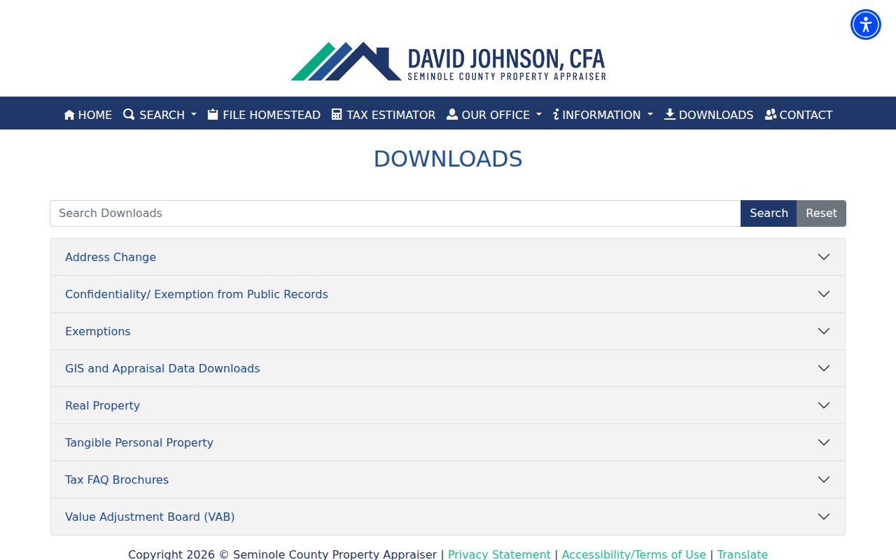
The download choices help researchers move from a single parcel result to a carefully filtered street dataset while retaining the official parcel identifier.
The Seminole County Tax Collector supplies the separate tax-record route connected to assessed parcels.
The tax portal complements the appraiser record, but the appraiser remains the source for parcel ownership, situs details, and mapped property facts.
Mailing and Situs Addresses Tell Different Oviedo Stories
The situs address locates the land. The mailing address shows where SCPA sends the owner's notice. When they match, they support an inference that the owner may be at the property. A homestead exemption can strengthen that inference for a stated tax year, but does not identify a spouse, child, roommate, guest, or other occupant.
Record-reading note. A different mailing address can reflect a move, managed property, trust, or other arrangement and does not prove why the fields differ.
That distinction keeps a by-address result honest. Describe a card as naming an owner, not every current resident. If the goal shifts to one person rather than a road, the Oviedo resident lookup guide explains how to corroborate a name.
Map an Oviedo Street with CurrentView
The county GIS page documents the map source.
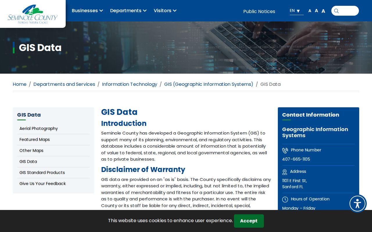
The screenshot guides access; live parcel records control.
The Public Appraisal Map adds spatial context that a list cannot. Search the target, verify the parcel, and zoom until street and parcel outlines are clear. The visible extent then acts as a geographic filter for “Quick: Parcel Search (CurrentView).” Query Results identify parcels and link to appraisal detail. Pan in small stages so no bend or side road is skipped.
GIS also answers a local jurisdiction question. A postal Oviedo address may sit outside the city because mail delivery covers a wider area. Municipal context determines whether City of Oviedo Building Services or Seminole County Development Services keeps permit and code files. USPS answers how mail is routed; parcel GIS answers which government boundary contains the land.
What Oviedo Records Can Be Read by Street
No source produces a complete Oviedo street directory. The strongest method joins records while preserving what each one leaves out. These are the address-keyed sets documented for Oviedo and Seminole County.
| Address source | Keeper | Evidence | Access |
|---|---|---|---|
| Parcel and tax roll | SCPA | Owner, mail and situs, parcel, legal, exemption, improvements, sales | Free search and daily files |
| Appraisal GIS | SCPA and county | Parcel lines, nearby lots, imagery, mapped results | Free map |
| Deeds, liens, plats | Seminole Clerk | Title parties, instruments, dates, legal continuity | Free index and public images; copies may cost |
| Voter extract | Florida Elections | Public voter fields by residence street or ZIP | Written monthly disk request |
| Permit and code | Oviedo or county | Address, work, dates, status, applicant | Portal or custodian request |
| Directory and census | Library and archives | Listed subscriber or old household | Catalog, staff, database, archive |
Use parcel number and legal description to tie property records together. Permit applicants may be owners, contractors, architects, businesses, or agents, so a name shows involvement with work at the site, not residence.
Turn an Oviedo Address into a Deed Search
The Seminole County Clerk's Official Records system does not depend on a modern street address. Search the current owner's name in both directions, identify the purchase deed by type, date, and legal description, and open the index or available image. Record grantor, grantee, recording and execution dates, instrument number, book and page, consideration, and legal description.
To move back one transfer, search the seller as a grantee in an earlier period. The portal also supports begin and end dates, recent filing ranges, book type, instrument type, book, page, file number, legal-description text, and consideration range. Results can be filtered and exported. This protects the street directory trail when postal wording shifts or one person owns several parcels.
- Parcel
- A mapped unit of land identified by the property appraiser.
- Situs address
- The physical parcel location, distinct from an owner's mail destination.
- Plat
- A recorded map of a subdivision, lots, blocks, roads, or easements.
- Criss-cross directory
- A directory arranged by street and house number rather than surname alone.
Oviedo Voter Data Takes a Different Street Route
Seminole's “My Voter Record” tool requires first name, last name, and date of birth. It verifies one record and is not an open street browser. Florida's statewide extract is the route for organized street or ZIP data. Public fields documented in the research include name, residence and mailing address, birth date, party, phone, email, registration dates, precinct, status, and voting history. Social Security, driver-license or state-ID numbers, application source, and signature copies are withheld.
The extract is requested in writing and delivered on scheduled monthly physical media, not as an emailed download. It omits nonvoters, protected records, and changes not yet reflected. Voting history means participation, never ballot choices. Treat it as a dated registration layer beside property evidence, not a full resident roll.
Oviedo Permits Follow the City Line
Inside the municipal boundary, Oviedo Building Services and Code Enforcement are the logical channels. Outside it, a postal Oviedo parcel may fall under Seminole County Development Services. The city request route accepts a focused description, record type, address, and date span. Florida law allows oral, written, electronic, and anonymous requests; a requester need not explain a purpose.
GoPost/ePlan is an application portal with account registration and uploaded plans. No public historical permit-index start date was verified, so do not infer one. Ask the correct custodian for permits or code cases and give a tight span. Names establish involvement with work, not who occupied the property.
Older Oviedo Streets Need Alternate Place Names
Historical searches cross two local breaks. Andrew Aulin named the post office Oviedo in 1879; earlier sources may call the settlement Lake Jesup or Lake Jessup. Seminole County was created from Orange County in 1913, so an older deed trail moves to Orange County custody. Oviedo incorporated in 1925.
Rural routes, changed road forms, OCR errors, and sparse regional coverage can hide an address. Search legal description, subdivision, family name, Lake Jesup variants, and early agricultural or transport terms. Reverse and telephone directories may identify listed householders, but no official local criss-cross year run was verified. East Branch, Central Branch, the county museum, and Oviedo Historical Society are proper inquiry routes.
Historic Downtown Sharpens an Oviedo Street Search
Oviedo's 2026 Community Redevelopment Plan maps a historic-downtown study area at parcel scale and supplies local history. It describes about 674 acres and 698 parcels. That boundary can focus a project on an older part of Oviedo, then guide parcel, deed, plat, permit, photograph, and newspaper work.
The plan is context, not occupancy proof. A redevelopment boundary shows which parcels share a planning area at publication. Current ownership comes from SCPA, transfers from the Clerk, and old households from directories, census, obituaries, and archives.
Limits of the Oviedo Street Directory
Owner rolls omit ordinary occupants who do not hold title. Voter files omit nonvoters and protected entries. A reverse directory may name one subscriber. Motor-vehicle addresses are restricted, and utility or delivery accounts are not a dependable public household list. Protected addresses, minors, and many personal facts remain outside a public street portrait.
Lawful personal use. Use Oviedo address records for property, family, or civic research, and never to follow, threaten, intimidate, or harass a person.
Preserve the date and source of a claim, distinguish owner from occupant, and verify key facts with the custodian. A sound street directory is frank about uncertainty. It shows how the chain was built without claiming that a public index sees inside every home.